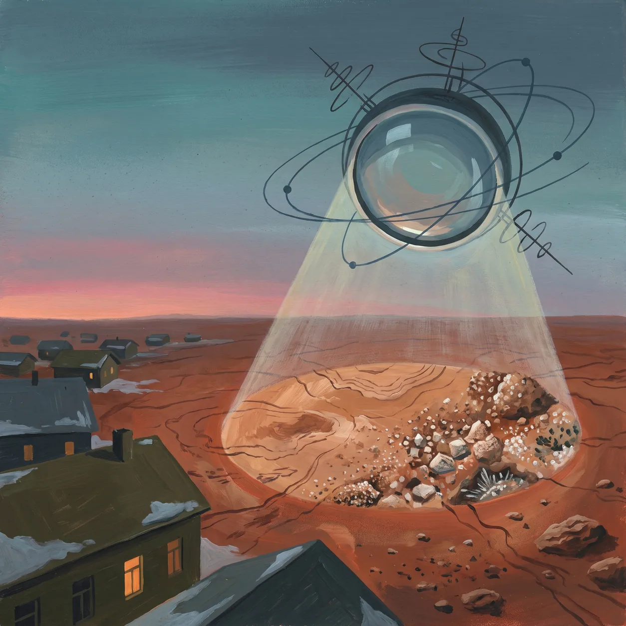
Shifting the resolution of observation changes the nature of the data itself. When an orbiting camera can see at a scale afforded only in glimpses by landers, the gap between mapping and close inspection narrows.
On September 29, 2006, the HiRISE camera on the Mars Reconaissance Orbiter takes its first low-orbit, high-resolution pictures of Mars. NASA reported that the spacecraft had completed the challenging half-year task of shaping its orbit to the nearly circular, low-altitude pattern.
The High Resolution Imaging Science Experiment (HiRISE) was to fly on the Mars Reconnaissance Orbiter mission, planned for launch in August of 2005. Its project page listed a news item dated April 13, 2006, titled "First Mars Images From HiRISE". NASA also reported that researchers had released the first Mars images from two of the three science cameras on NASA's Mars Reconnaissance Orbiter.
Bridging the Macro and the Micro
The significance of this milestone lies in the specific threshold of visibility it crosses. According to the HiRISE team, it is possible to image on a variety of scales down to 1 meter, a scale currently afforded only in glimpses by landers.
In complex systems, operators usually face a strict trade-off between coverage and clarity. Landers provide deep, localized ground truth but are physically constrained to a single location. Orbiters provide broad, continuous context but traditionally lack the fidelity to inspect granular details.
Achieving lander-level resolution from an orbital vantage point merges these two distinct modes of exploration. In principle, it offers broad context and close detail from the same vantage point. The half-year spent shaping the orbit can be read as the price of getting closer.
True systemic understanding requires both the map and the microscope, operating simultaneously.
Sources
- Portal:Current events/2006 September 29 (revision 78772680) - Wikipedia, 2006-09-30
- Mars Reconnaissance Orbiter - NASA Jet Propulsion Laboratory, 2006-09-29
- HiRISE - High Resolution Imaging Science Experiment - University of Arizona / Lunar and Planetary Laboratory, 2006-09-01