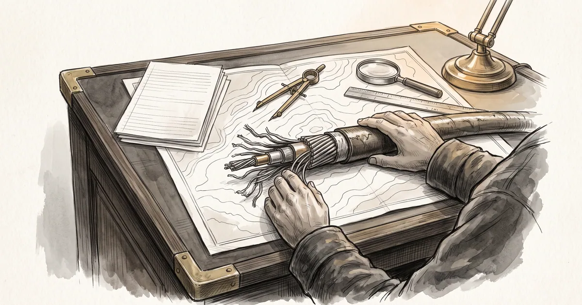
During February 2012, transoceanic network disruptions caused by ship anchors dragging across shallow maritime corridors once again reminded systems engineers that cloud computing rests on fragile glass threads along the ocean floor. Undersea fiber-optic cable systems pack massive wavelength-division multiplexed capacity into narrow armored sheaths that must cross congested shipping lanes, continental shelves, and coastal landing trenches. When a single anchor drag or seabed slide severs a regional cable bundle, multi-homed enterprises frequently discover that their primary and backup transit providers vanish at the exact same second. This recurring operational shock raises a foundational architectural question: Why do logically diverse network paths still collapse simultaneously when they share physical maritime chokepoints?
Where do independent carrier autonomous systems converge into the same physical cable corridors?
Logical network diagrams present an comforting illusion of sovereign, independent transit paths. At the Border Gateway Protocol (BGP) layer, Autonomous System Numbers (ASNs) appear as distinct nodes in a decentralized graph, encouraging network architects to buy transit from two or three competing Tier-1 carriers under the assumption that separate contracts guarantee physical separation. In practice, laying and maintaining transoceanic submarine cables with submerged erbium-doped optical repeaters requires massive capital consortia. Competing carriers routinely lease individual optical wavelengths or dark fiber pairs inside the exact same undersea cable system, or route separate subsea cables through the same narrow maritime passages such as the Suez Canal, the Red Sea, the Strait of Malacca, and the Luzon Strait.
In network reliability engineering, these hidden physical intersections are known as Shared Risk Link Groups (SRLGs). Because standard BGP route advertisements propagate only AS-path vectors and prefix reachability without exposing Layer-1 conduit coordinates, enterprise edge routers have no native visibility into whether two upstream autonomous systems share a submarine cable sheath or a coastal beach manhole. Even when two submarine cables follow separate ocean-basin tracks, they frequently terminate at the same coastal cable landing station or traverse the same terrestrial backhaul duct along a highway or railway right-of-way into the metropolitan carrier hotel. A single backhoe strike on land or a single trawler anchor offshore can therefore sever multiple logically independent BGP sessions in one mechanical event.
How does BGP path hunting behave when a regional submarine cable cut drops transoceanic capacity?
When a submarine cable cut severs the high-voltage power feed to submerged optical amplifiers or shears the glass fibers outright, wavelength-division multiplexing terminals at the landing stations register an immediate loss of light. However, customer edge routers several hops inland do not sense optical-layer faults directly unless fast link-state notifications propagate upstream. Until interior gateway protocols withdraw the failed next-hops or BGP hold timers expire, routers continue forwarding line-rate packet streams toward blackholed interfaces. Once withdrawal messages propagate across autonomous system boundaries, global routing tables enter a period of BGP path hunting, iteratively exploring secondary and tertiary AS paths of progressively higher latency.
This control-plane convergence storm collides directly with physical capacity constraints on the surviving cables. While routing engines exchange withdrawal and update messages, surviving transoceanic links that normally run at moderate utilization are suddenly flooded with displaced traffic from the severed corridor. Queue buffers overflow, packet loss spikes, and TCP retransmissions amplify congestion across the remaining paths. Operators face a painful operational trade-off: aggressive route-flap dampening protects router CPUs from churn during intermittent optical restoration attempts, yet dampening timers can also suppress legitimate backup path announcements and prolong cross-continental reachability blackholes.
Why must infrastructure engineers map physical conduit geography alongside logical routing tables?
Modern cloud abstractions tempt engineering teams to treat global connectivity as an elastic, self-healing software fabric. Yet beneath every autonomous system boundary and virtual private network lies physical glass constrained by coastal geography and maritime shipping corridors. Achieving genuine fault tolerance across regions requires looking below Layer-3 routing tables to audit physical SRLG maps, submarine cable consortium memberships, landing station diversity, and terrestrial backhaul conduits before an offshore anchor tests the illusion of redundancy in production.
Sources
- Optica Publishing Group (OSA): Undersea Fiberoptic Cable Systems: High-tech Telecommunications Tempered by a Century of Ocean Cable Experience, 2002
- Elsevier: WDM Undersea Cable Network Technology for 100 Gb/s and Beyond, 1998-01
- IEEE: Link State Protocol Data Mining for Shared Risk Link Group Detection, 2010-08-02
- IEEE: Fast Network Failure Recovery Using Multiple BGP Routing Planes, 2009-11-30